
Applied 2-d resistivity survey for determination of an internal structure of an earth-fill embankment of irrigation reservoirs in the northeastern Thailand
Article Sidebar
Published:
Apr 19, 2017
Main Article Content
Abstract
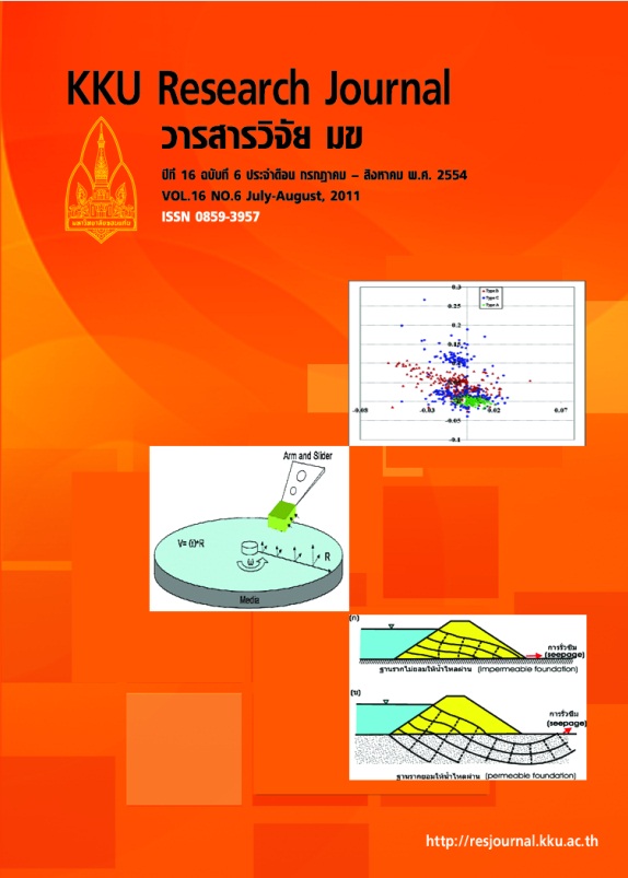
An earth-fill embankment, a man-made structure, after decades of use, it is no doubt that external and internal damages have occurred. Damage to external structure is visible and so its repair is tenable. However, damage to internal structure may be too late for an attempt to protect and restore a utility of the earth-fill embankment. Seepage under the embankment that it can leads to piping is one of critical damages of the embankment. The piping occurs the embankment is no longer hold water. Thus, this study used applied 2-D resistivity survey for mapping of internal structure of nine earth-fill embankments (reservoirs). Six earth-fill embankments, Huai Jorrakaemark, Huai Talad, Phuta Utayan, Huai Sai Kamin, Huai Num Bor, and Phu Pet, of more than 45 years of age and three earthfill embankments, Huai Sai 1, Huai 2 and Huai Sai 3, of less than 30 years of age were selected as case studies. Two resistivity profiles were measured at the top and at the downstream toe of each selected embankment. Results reveal the resistivity anomalies that could be interpreted to identify heterogeneity/homogeneity of the subsurface earth structure. An internal structure of the Phu Pet, Huai Talad, Huai Sai 1, Huai San 2, and Huai Sai 3 embankments and a subsurface beneath the downstream toe of the embankment resistivity images had the least heterogeneous earth-structures whereas an internal structure of the Phuta Utayan, Huai Sai Khamin, and Huai Num Bor embankments had the greatest heterogeneity. Subsurface images along the downstream toe of the Huai Jorrakaemark exhibits low resistivity values, and this requires a double check. Acquiring resistivity data should be attempted during the period when the water level in the reservoir rising close to the maximum level because if seepage occurs, water at the downstream toe of the embankment should obviously appear. A re-survey along the Phuta Utayan, Huai Sai Khamin and Huai Num Bor embankments are required for a conclusive interpretation of the heterogeneities and additional embankment’s construction details should be obtained, including sources of earth materials and any re-structures made.
Article Details
How to Cite
Satarugsa, P., & Sangchumpoo, S. (2017). Applied 2-d resistivity survey for determination of an internal structure of an earth-fill embankment of irrigation reservoirs in the northeastern Thailand. Asia-Pacific Journal of Science and Technology, 16(6), 655–667. retrieved from https://so01.tci-thaijo.org/index.php/APST/article/view/83445
Section
Research Articles
