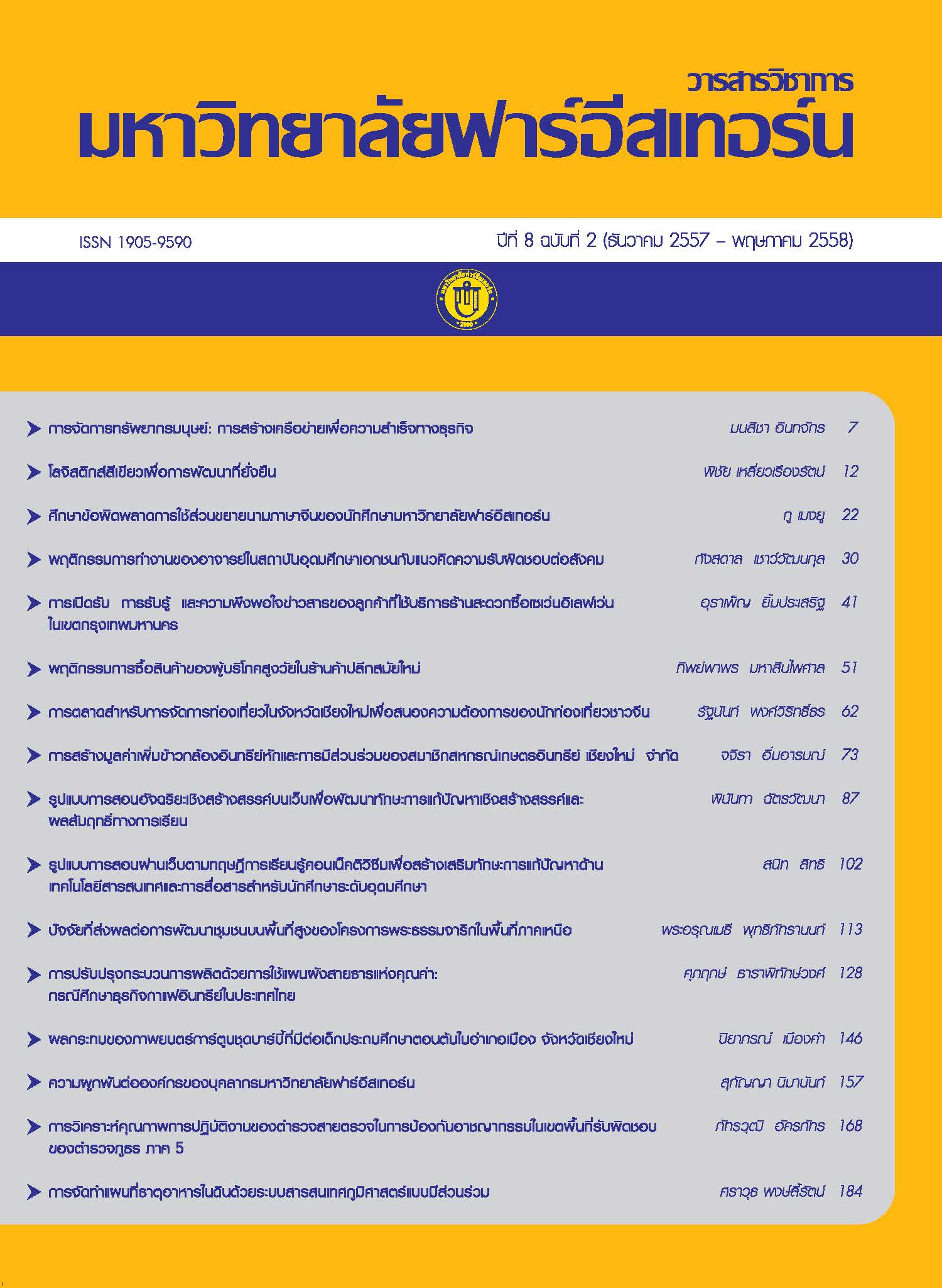
การจัดทำแผนที่ธาตุอาหารในดินด้วยระบบสารสนเทศภูมิศาสตร์แบบมีส่วนร่วม ของชุมชนหมู่บ้านเป๊าะ ตำบลบ้านโป่ง อำเภองาว จังหวัดลำปาง
Main Article Content
Abstract
การจัดทำแผนที่ธาตุอาหารในดินด้วยระบบสารสนเทศภูมิศาสตร์แบบมีส่วนร่วมของชุมชนหมู่บ้านเป๊าะ ตำบลบ้านเป๊าะ อำเภองาว จังหวัดลำปาง มีวัตถุประสงค์เพื่อศึกษาการจัดทำแผนที่ธาตุอาหารในดินด้วยระบบสารสนเทศภูมิศาสตร์แบบมีส่วนร่วมของชุมชน ระเบียบวิธีวิจัยที่ใช้เป็นการวิจัยแบบปฏิบัติการแบบมีส่วนร่วม (Participatory Action Research: PAR) ระหว่างมหาวิทยาลัยและชุมชนท้องถิ่น โดยพิจารณาจากความต้องการของชุมชน เทคนิควิธีวิจัยเชิงคุณภาพที่ใช้ ได้แก่ การสัมภาษณ์แบบเจาะจง และการสังเกตแบบมีส่วนร่วม การจัดทำแผนที่ธาตุอาหารในดินได้จากการนำข้อมูลดินในหมู่บ้าน จำนวน 23 แปลงตัวอย่าง การวิเคราะห์ดินจากสำนักงานพัฒนาที่ดินจังหวัดเชียงใหม่ จากนั้นนำเข้าสู่กระบวนการจัดทำแผนที่ด้วยระบบสารสนเทศภูมิศาสตร์ ผลการศึกษาพบว่า ธาตุอาหารในดินของหมู่บ้านเป๊าะ มีค่าอินทรีย์วัตถุเฉลี่ยร้อยละ 2.02 อยู่ในระดับปานกลาง ค่าฟอสฟอรัสเฉลี่ยร้อยละ 19.43 อยู่ในระดับปานกลาง ค่าโพแทสเซียมเฉลี่ย ร้อยละ 28.70 อยู่ในระดับต่ำ ค่าปฏิกิริยาของดินเฉลี่ยร้อยละ 6.85 อยู่ในระดับกลาง และมีความต้องการปุ๋ยอินทรีย์เฉลี่ยร้อยละ 2.17 กิโลกรัมต่อไร่ จากข้อมูลสถิติการใช้ปุ๋ยจากกองทุนปุ๋ยหมู่บ้านพบว่า ในปี พ.ศ. 2557 ชุมชนบ้านเป๊าะได้มีการสั่งซื้อปุ๋ยลดลง 1,250 กิโลกรัม สามารถลดต้นทุนค่าปุ๋ย 25,000 บาท ข้อค้นพบที่ได้ คือ แผนที่ธาตุอาหารในดินก่อให้เกิดกระบวนการเรียนรู้ระบบสารสนเทศภูมิศาสตร์แบบมีส่วนร่วมของชุมชน เกษตรกรสามารถวางแผนการใช้ปุ๋ยได้อย่างมีประสิทธิภาพ นักศึกษาที่เป็นสมาชิกในหมู่บ้านเป๊าะ เป็นผู้เชื่อมโยงให้อาจารย์และเพื่อนในชั้นเรียนได้แลกเปลี่ยนเรียนรู้ร่วมกับชุมชน ตลอดจนมีทักษะด้านระบบสารสนเทศภูมิศาสตร์ไปประยุกต์ในการพัฒนาชุมชนที่สามารถจับต้องได้อย่างเป็นรูปธรรม
Community Participation Geographic Information Systems for Soil Nutrients Mapping of Ban Po Village Ban Pong Sub District Ngao District Lampang Province has objective to create soil nutrients mapping by community participation geographic information system
The research methodology used is Participatory Action Research (PAR) between university and community considering the needs of the community. This research used a qualitative research in-depth interview, focus group, participant observation. Mapping soil nutrients from the soil in the village of 23sample plots. Soil analysis from Chiang Mai Land Development Department and process mapping using GIS. The results showed that soil nutrients mapping of Ban Po Village has organic matter 2.02 percent ismedium, phosphorus 19.43 percent is medium, potassium 28.70 percent is low, PH Value 6.85 in the middle and necessary to 2.17 kg per RAI of organic fertilizer. Statistics of fertilizer funds from the village informative in the year 2014 the community had to purchase fertilizers dropped 1,250 kilograms can reduce fertilizer costs 25,000 baht. Soil nutrients mapping create process of Community Participation Geographic Information System. Farmers can plan to use fertilizer efficiently. The student whose hometown in Ban Po is linked to teachers and classmates to exchange knowledge with the community. And GIS skills in community development can be tangible concrete.
Article Details
1. Any views and comments in the Journal of Social Innovation and Lifelong Learning are the authors’ views. The editorial staff have not to agree with those views and it is not considered as the editorial’s responsibility.
2. The responsibility of content and draft check of each article belongs to each author. In case, there is any lawsuit about copyright infringement. It is considered as the authors’ sole responsibility.
3. The article copyright belonging to the authors and The Far Eastern University are copyrighted legally. Republication must be received direct permission from the authors and The Far Eastern University in written form.

