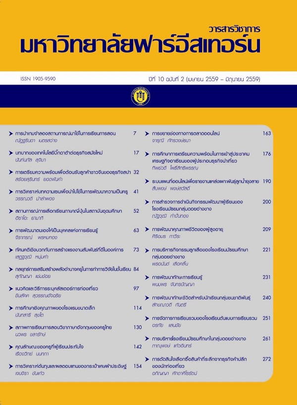
ระบบแผนที่ออนไลน์เพื่อรายงานแหล่งเพาะพันธุ์ลูกน้ำยุงลาย กรณีศึกษาตำบลบ้านตาล อำเภอฮอด จังหวัดเชียงใหม่
Main Article Content
Abstract
การวิจัยครั้งนี้มีวัตถุประสงค์เพื่อ 1) ออกแบบระบบแผนที่ออนไลน์เพื่อเก็บข้อมูลการสำรวจ
แหล่งเพาะพันธุ์ลูกน้ำยุงลาย และ 2) พัฒนาระบบบันทึกพิกัดและรายงานสถิติแหล่งเพาะพันธุ์ลูกน้ำยุงลาย
โดยการรวบรวมข้อมูลทางสิถิติของจุดสำรวจแหล่งเพาะพันธุ์ลูกน้ำยุงลาย ที่โรงพยาบาลส่งเสริมสุขภาพตำบลได้บันทึกไว้แล้ว และสำรวจข้อมูลตำแหน่งพิกัดในระบบสารสนเทศภูมิศาสตร์ จากนั้นนำมาออกแบบและจัดทำเป็นฐานข้อมูลเพื่อประเมินสถานการณ์แหล่งเพาะพันธุ์ลูกน้ำยุงลายบนเครือข่ายอินเทอร์เน็ตที่สามารถใช้เป็นเครื่องมือในการเฝ้าระวังโรคติดต่อทางระบาดวิทยา โดยระบบใช้ภาษา PHP HTML CSS และ JavaScript ในการเขียนเว็บแอฟพลิเคชั่นและออกแบบฐานข้อมูล ใช้ MySQL ผลการศึกษา สรุปได้ว่า
การรายงานสถิติแหล่งเพาะพันธุ์ลูกน้ำยุงลายด้วยระบบแผนที่ออนไลน์แบ่งออกเป็น 3 ส่วนหลัก คือ ส่วนของการรับข้อมูลพิกัดตำแหน่งและข้อมูลการสำรวจจากโปรแกรมประยุกต์ในการรับข้อมูลพิกัดตำแหน่งทางภูมิสารสนเทศ ส่วนที่สองเป็นการแสดงผลแผนที่ออนไลน์ในจุดสำรวจรายงานแหล่งเพาะพันธุ์ลูกน้ำยุงลาย และส่วนที่สามเป็นการแสดงข้อมูลทางสถิติภาพรวมของจุดสำรวจแหล่งเพาะพันธุ์ลูกน้ำยุงลาย ทั้งนี้ระบบแสดงข้อมูลตำแหน่งของจุดสำรวจ สามารถประเมินความเสี่ยงในพื้นที่การสำรวจจากข้อมูลสถิติ
เพื่อนำไปวางแผนป้องกันและควบคุมโรคติดต่อในพื้นที่ได้ อีกทั้งเป็นระบบแผนที่รายงานแหล่งเพาะพันธุ์ลูกน้ำยุงลายเพื่อสนับสนุนการทำงานของโรงพยาบาลส่งเสริมสุขภาพระดับตำบลได้
This research aimed to 1) design an online system for storage of dengue larvae surveying data and 2) develop the coordinate collection system and generate the dengue larvae report. Data collected by gathering statistics of dengue larvae surveyed data at the Tambon Health Promoting Hospital has already recorded and surveyed the coordinate of the dengue larvar into Geographic Information Systems. The data was designed and developed into database for dengue larvae situation evaluation in the internet as a tool to monitor the dengue epidemiological. The PHP HTML CSS and JavaScript applied for web application and MySQL applied for database design. The result of the study found the system was divided into three main parts. The first is the positioning data and survey data from the application to get information to the geospatial coordinates. The second is function display online maps in the survey reported dengue larvae. The third is shows an overview of the statistical survey reported dengue by display the location of the survey and assess the risks in a survey of statistical data. The location of the survey can be used to prevent, protect and planning for dengue control.
Article Details
1. Any views and comments in the Journal of Social Innovation and Lifelong Learning are the authors’ views. The editorial staff have not to agree with those views and it is not considered as the editorial’s responsibility.
2. The responsibility of content and draft check of each article belongs to each author. In case, there is any lawsuit about copyright infringement. It is considered as the authors’ sole responsibility.
3. The article copyright belonging to the authors and The Far Eastern University are copyrighted legally. Republication must be received direct permission from the authors and The Far Eastern University in written form.
References
กรมควบคุมโรค. (2556). สถานการณ์ไข้เลือดออกในประเทศไทย ปี 2556. สืบค้นเมื่อ 15 พฤษภาคม 2556, จาก http://www.ddc.moph.go.th.
จิตรภณ สุนทร. (2555).การวิเคราะห์เชิงพื้นที่ของโรคไข้เลือดออกในเขตเทศบาลนครนครปฐม พ.ศ. 2555ค่าดัชนีลูกน้ำยุงลายในบ้าน House Index และค่า ดัชนีลูกน้ำยุงลาย Container Index. สืบค้นเมื่อ 1 มิถุนายน 2556. จาก https://sites.google.com/site/hmuangud/kha-hi-ci
นภดล สุดสม. (2551).การพัฒนาระบบสารสนเทศทางภูมิศาสตร์ในการเฝ้าระวังทางระบาดวิทยา. วิทยาศาสตรมบัณฑิตสาขาวิชาเทคโนโลยีสารสนเทศและการจัดการ, มหาวิทยาลัยเชียงใหม่.
ศรณ์พชร ดวงแก้ว. (2550).การพัฒนาระบบสารสนเทศ เพื่อการเฝ้าระวังและควบคุมโรคไข้เลือดออก ของสำนักงานสาธารณสุขจังหวัดลำปาง. วิทยาศาสตรมหาบัณฑิตสาขาวิชาเทคโนโลยีสารสนเทศและการจัดการ, มหาวิทยาลัยเชียงใหม่.

